


balade des 12 lacs depuis le lac de bouilloires

stef789
User GUIDE
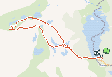

Length
11.8 km

Max alt
2372 m

Uphill gradient
407 m
Km-Effort
17.2 km

Min alt
2004 m

Downhill gradient
409 m
Boucle
Yes
Creation date :
2020-07-29 12:09:40.003
Updated on :
2020-07-29 16:33:43.212
4h23
Difficulty : Very easy

FREE GPS app for hiking
 SityTrail
IGN / Geographical institutes
SityTrail Plus
The world is yours!
About
Trail Walking of 11.8 km to be discovered at Occitania, Pyrénées-Orientales, Les Angles. This trail is proposed by stef789.
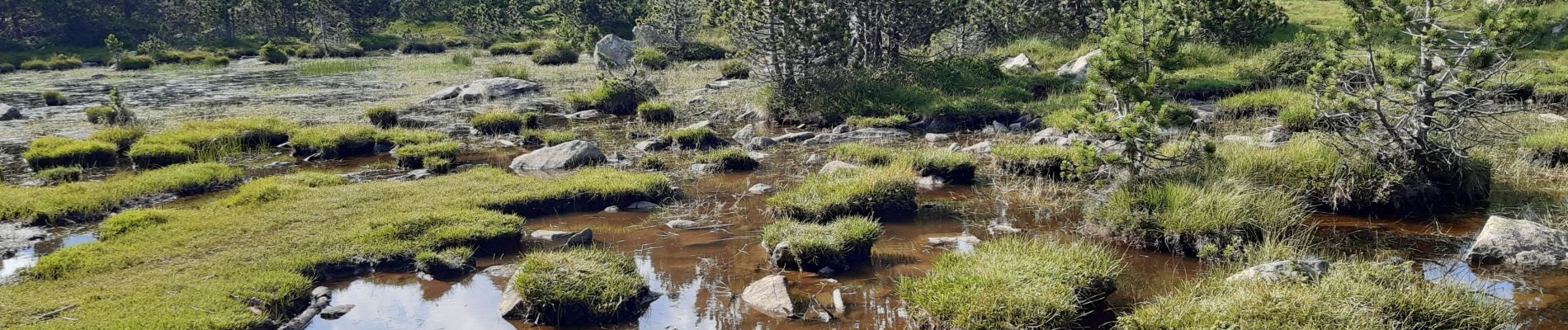
Photos


27 photos in total. Please click on a photo to see them all in the gallery.
Positioning
Country:
France
Region :
Occitania
Department/Province :
Pyrénées-Orientales
Municipality :
Les Angles
Location:
Unknown
Start:(Dec)
Start:(UTM)
418206 ; 4712446 (31T) N.
Comments